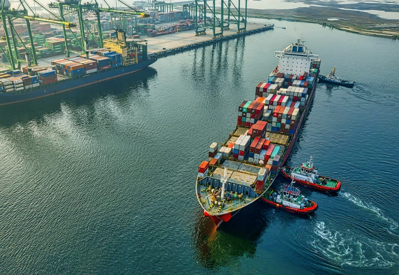
Track vessels around the globe to automatically identify trends, detect anomalies, and anticipate behaviors.
It's just different.
TerraScope Maritime brings together Privateer’s industry-leading capabilities in AI modeling, computer vision, space domain awareness, and data visualization. And it's easy to use.
The Problem
Data gaps with AIS ship monitoring lead to blind spots, while satellite imagery is detailed but expensive and complex, making it challenging to scale.
Our Solution
Fusing data sources from sea to space, Privateer helps customers maintain track custody of vessels while optimizing for the speed, cost, and accuracy of information.
The Results
Our automated analysis provides rapid insights and simplifies dissemination of mission-critical information to stakeholders.
Verticals We Serve
Supply Chain
Identify issues, plan for delays, and prevent disruptions with consistent tracking of owned and partner fleets
Law Enforcement
Maintain track custody of vessels to identify illegal fishing, drug/human trafficking, and more
Insurance & Risk
Analyze vessel patterns and history to assess risks from piracy, severe weather, and other maritime hazards
Border Security
Detect unauthorized vessel movements, potential smuggling routes, and other unusual activity
ESG
Quantify environmental risks from emissions, illegal dumping, overfishing, and other marine habitat hazards
Defense
Rapidly identify early indicators of adversarial vessel mobilization to stay ahead of potential threats
Powerful Tech. Intuitive Interface.
Data Fusion at Scale
Integrates a variety of data sources to enable robust analysis in one platform
Versatile Collection & Tasking
Fully-automated and human-supervised solutions available leveraging commercial assets
Configurable Sharing
Flexible reporting and data export capabilities foster collaboration and shorten the path from insight to action
Don't take our word for it...
Featured Customer
In July 2024, Orbital Insight [a Privateer company] was selected from a field of 82 teams competing for the first Commercial Solutions Opening of the National Geospatial-Intelligence Agencyto identify, monitor, and track illicit fishing activity.
Thank you! You're on the waitlist. We’ll let you know when Social Connect is publicly available.
Please enter a valid email address.
FAQ
How long will it take?
Implementation of TerraScope Maritime takes weeks, not months. Most customers can be fully onboarded and operational in 4-6 weeks.
What will it cost?
Pricing for TerraScope Maritime is determined by no. of users, data usage, and platform components required. We’ll work together to structure a license that works best for your specific needs.
Can I see a demo?
Absolutely. While TerraScope Maritime doesn’t have a public interface available (yet!), we’re happy to provide a live demo of the product on a no-obligation introductory call.